
Geobble
Web mapping made intelligent
AI-assisted geospatial workflow for creating spatial sources, analyzing geographic data, refining cartography, and publishing interactive maps.
About this launch
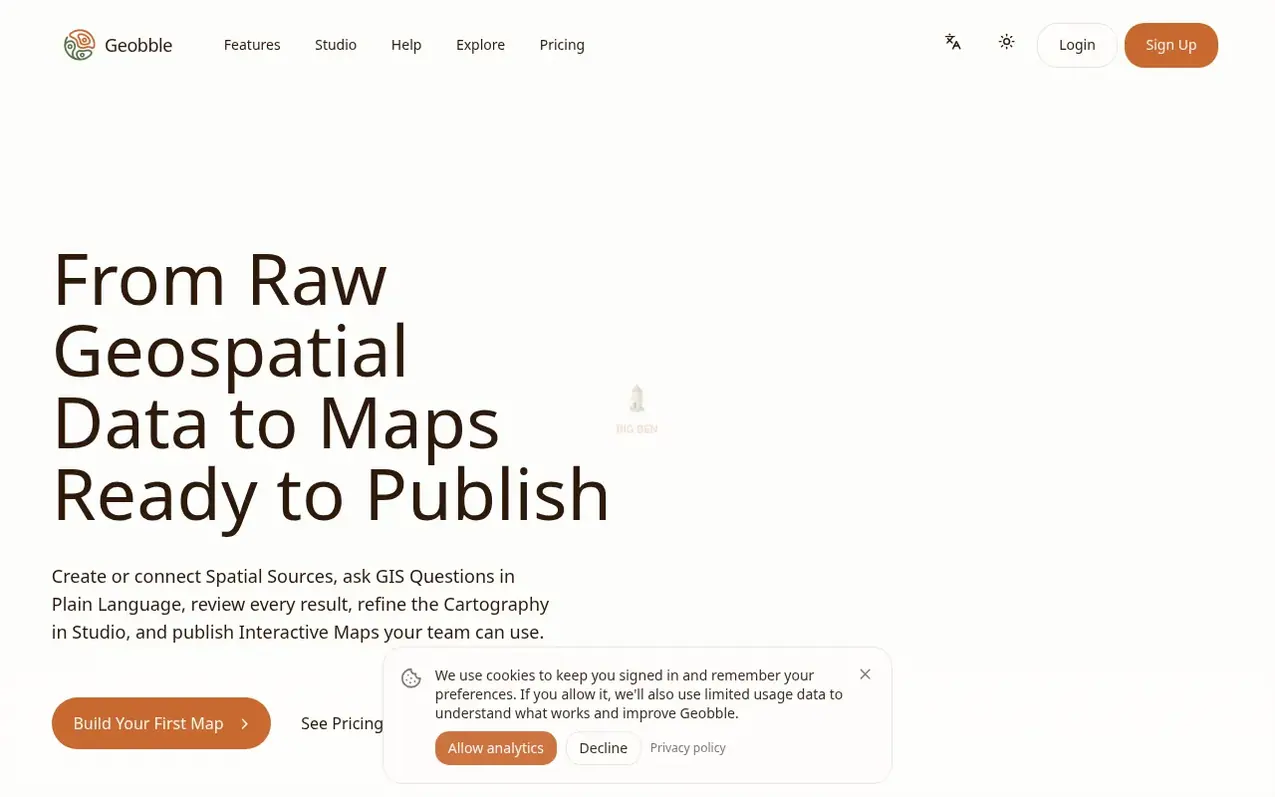
Geobble brings together data preparation, spatial analysis, cartographic refinement, collaboration, and publishing into one reviewable workflow. Upload GIS files, import PostGIS tables, or extract geographic features from evidence. Ask spatial questions in plain language without writing SQL, and generate map classifications, palettes, labels, and legends from your data. Move from AI-assisted drafts to precise collaborative editing in Studio when maps need production craft. Share work privately, with collaborators, or publish finished maps for internal decisions, client work, public communication, or data discovery.
What it does
- Plain-language spatial analysis with AI assistance
- Import GIS files and PostGIS data
- Automatic map styling and cartography generation
- Reviewable AI-assisted workflows
- Collaborative Studio environment
- Feature extraction from documents and evidence
- Source enrichment with additional attributes
- Interactive map publishing with access control
- External PostGIS source connections
Pricing
Free (2,000 monthly credits), Pro $25/month billed yearly (30,000 monthly credits), Team $99/month billed yearly (150,000 monthly credits), Enterprise (custom pricing). Credit packs: Boost $12 (10,000 credits), Growth $45 (40,000 credits), Scale $140 (125,000 credits).
Shopper questions
How do I get started with Geobble?
Create an account and choose your starting point: upload a GIS file, find a public source, extract features from evidence, enrich an existing source, or create a Project. You can then analyze the data, refine the result in Studio, and publish or share it when ready.
What is the difference between Projects and Studio?
Projects are conversational workspaces for exploring questions, combining context, running spatial analysis, and producing a first map result. Studio is the direct production environment for data work, precise map editing, collaboration, and publication preparation.
What data formats can I bring into Geobble?
Geobble supports common geospatial formats including GeoJSON, Shapefile, KML, KMZ, GeoPackage, File Geodatabase, and CSV data with geographic information. You can also import external PostGIS tables.
Can I review AI-assisted changes before publishing?
Yes. Geobble is designed around reviewable work. Data-work proposals, analysis results, layers, styles, and map changes can be inspected and refined before you apply or publish them.
Does Geobble work with PostGIS data?
Yes. You can import external PostGIS tables into managed Geobble Sources, then use those sources in Projects, Studio workspaces, analysis, and published maps.
Geobble has a free listing. The owner can unlock the full profile with a paid launch for $5:
- Founder story (locked)
- Milestones (locked)
- Demo video (locked)
- Dofollow website link (locked)
Shoppers also viewed
- MyPaperKit
Design tools
- AI Kitchen Design
Design tools
- ideare
Design tools
- Matita
Design tools