Geo-Tag-It
Bulk photo geotagging tool that adds GPS coordinates to image EXIF data
Free online tool to bulk add GPS coordinates to photos' EXIF metadata for organization, local SEO, and travel photo workflows. Process hundreds of images in
About this launch
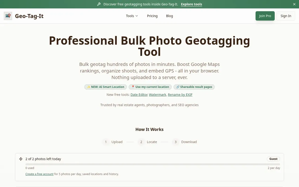
Geo-Tag-It is a professional photo geotagging tool that enables bulk addition of GPS coordinates to image EXIF data. Users can upload photos, select locations using an interactive map, AI detection, or address search, and download geotagged images with embedded GPS metadata. The tool supports multiple file formats including JPEG, PNG, WebP, TIFF, BMP, GIF, and HEIC.
All photo processing happens securely in the browser without files being uploaded to servers. The free plan includes 5 photos per day, while the Pro plan offers unlimited daily processing, bulk operations, GPX/KML track synchronization, and advanced metadata tools. The platform also provides additional complementary tools for photographers including EXIF viewers, image resizers, GPS removers, and GPS track converters.
What it does
- Bulk photo geotagging with interactive map selection
- EXIF GPS metadata embedding for multiple file formats
- AI Smart Location detection
- Batch processing with multiple locations
- GPX & KML track synchronization
- Saved locations with address autocomplete
- Full IPTC metadata tools and display
- Secure browser-based processing without server uploads
- Shareable result pages
Pricing
Pricing model: Freemium
Free: 5 photos per day, 2 saved locations, single-photo geotagging, interactive map selection, EXIF GPS metadata embedding, shareable result pages, AI Smart Location one free try per session. 7-Day Batch Pass: $3 one-time payment for unlimited photos for 7 days, unlimited batch size with ZIP downloa
Shopper questions
What is photo geotagging?
Photo geotagging adds GPS coordinates to your images' EXIF data, allowing you to see exactly where each photo was taken on maps and photo applications.
What file formats are supported?
The tool supports JPEG, PNG, WebP, TIFF, BMP, GIF, and HEIC/HEIF image formats. All formats are automatically converted to JPEG with embedded GPS coordinates.
Is my data secure?
All image processing happens securely. Your photos are processed and downloaded directly to your device without being stored on servers.
Can I process multiple photos at once?
Yes. Use the bulk processing feature to apply multiple locations to photos, or upload multiple photos and assign locations efficiently. Free accounts support up to 5 photos per batch, while Pro offers unlimited batch sizes.
Is this tool free to use?
Yes. Geo-Tag-It is free for occasional use with 5 photos per day on a free account. Upload photos, select locations, and download geotagged images. Pro is available when you need unlimited bulk workflows.
Geo-Tag-It has a free listing. The owner can unlock the full profile with a paid launch for $5:
- Founder story (locked)
- Milestones (locked)
- Demo video (locked)
- Dofollow website link (locked)
Shoppers also viewed
- Contour
Photography & video
- CheckPassportPhoto
Photography & video
- Passport Size Photo
Photography & video
- Passport Photo Guru
Photography & video